Public invited to delve into Carrickfergus’ Anglo-Norman past
Thursday 23 July 2026
Carrickfergus Museum is set to host a free, one day workshop and talk event on Saturday 15 August designed to explore the town’s Anglo-Norman past.
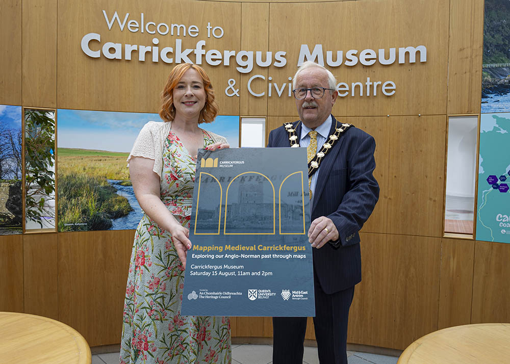
Through both archaeology and historic maps and mapping software the development of Carrickfergus across the centuries can be discovered.
In the morning 'Mapping Workshop', the public can see how a newly created online map was developed, as part of a wider project, and get a chance to use it. The collaborative wider project between Mid and East Antrim Borough Council’s museum staff and Queen’s University Belfast will conclude in the ‘European Year of the Normans 2027’.
Funded by The Heritage Council through the Irish Walled Towns Network, the project uses old maps to create a new, interactive, sustainable web-mapping application showing Carrickfergus as it was circa 1250 AD — pieced together from a range of sources.
A visual lecture will take place in the afternoon with QUB geographer Professor Keith Lilley. His 'Mapping our Anglo-Norman Towns' talk will include Carrickfergus and other Anglo-Norman towns as examples, and question-and-answer discussions.
Mayor of Mid and East Antrim, Alderman Thomas Gordon, speaking about the upcoming event said: “Carrickfergus has a rich and fascinating history, and this innovative project offers a wonderful opportunity to bring the Anglo-Norman past to life for residents and visitors alike.
“The combination of academic research, archaeology and digital technology between the Council and Queen’s University will help us better understand the development of our historic town over the centuries.
“Carrickfergus is one of the most significant Norman heritage sites on the island of Ireland, and this project highlights the important role this part of the Borough played in shaping history. The new digital map will give people a unique glimpse into what the town may have looked like around 1250 AD, offering an engaging and interactive way to connect with our past.
“I encourage everyone with an interest in local history, heritage or archaeology to attend this free event and help us road test this new map created through fascinating research. It is a fantastic example of how partnerships can help make our shared heritage accessible to all.”
The earliest map of Carrickfergus town dates to 1560 AD and it is believed that this, and later maps, reveal a medieval urban landscape hidden in plain sight. It is planned for the interactive map to be made available online and as a touchscreen feature at Carrickfergus Museum as part of an exhibition coming in 2027. The exhibition will explore the transformative chapter in Irish history, beginning with the arrival of the Anglo-Norman forces in 1169 and the profound changes that followed.
To attend the morning session please email Carrickfergus Museum at: carrickfergusmuseum@midandeastantrim.gov.uk or phone 028 9335 8241.
To book your place at the afternoon talk visit the Mapping Medieval Carrickfergus booking page.